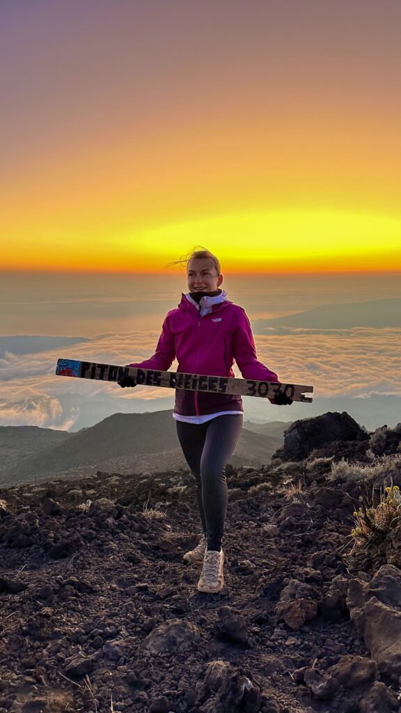
The Piton des Neiges hike is one of my best memories from our trip to Réunion. Réunion is a French island in the Indian Ocean, and its highest summit stands at 3,070 metres. It is also the highest point of the whole Indian Ocean. We climbed it during our crossing of the island. We started from the Piton des Neiges refuge, where we had slept the night before. Our alarm went off at 3 am, so that we could reach the top for sunrise. A few people were already up there, including some who had slept on the summit, and it was very cold.
In this article, I tell you what we lived through and bring together what you need to know before you go. I cover the route from Le Bloc in Cilaos and the night in the refuge. I also cover the night climb, the cold and the kit. The figures come from the reference guides, namely the tourist office and FFRandonnée, France’s hiking federation. I point out where they disagree. For the rest of our trip, everything is in my 10-day Réunion Island itinerary.
If you are hesitating between several trails, my Reunion Island hiking guide compares ten of the best hikes on the island at a glance.
Sommaire
Piton des Neiges at a glance
Here are the key figures before the details. They come from the same guides as the rest of this article.
| Summit | 3,070 m, the highest point of Réunion and of the Indian Ocean |
| Classic start | Le Bloc, 1,380 m, above Cilaos |
| Distance (round trip) | 13.8 to 15.5 km, depending on the guide |
| Ascent | 1,730 to 1,811 m, depending on the guide |
| Time (round trip) | 8.5 to 9 hours |
| Refuge | Caverne Dufour, 2,400 m, about 3 hours from Le Bloc |
| Refuge to summit | 1 to 1.5 hours of climbing, depending on the guide |
| Difficulty | Hard, according to every guide |
| Refuge night | 21 euros per person for 2026 |
Piton des Neiges: practical information before you go
The classic climb starts from Le Bloc, at 1,380 metres above Cilaos, and comes back the same way. The tracks differ from one guide to the next. Expect 13.8 to 15.5 kilometres, 1,730 to 1,811 metres of ascent and 8.5 to 9 hours for the round trip. All the guides rate it as hard.
- Start: Le Bloc (1,380 m), on the road towards Bras-Sec after Cilaos
- Caverne Dufour refuge: 2,400 m, about 3 hours’ walk from Le Bloc
- Summit: 3,070 m, between 1 and 1.5 hours above the refuge, depending on the guide
- Ascent: about 1,100 m up to the refuge, then 600 m to the summit
- Waymarks: red and white (GR R1 and GR R2, the long-distance footpaths), then white paint marks on the lava blocks after the refuge
Most hikers split the climb into two days, with a night at the refuge. FFRandonnée even presents it as a two-day hike from Cilaos. You climb at an easy pace on the first day and you rest. Then you set off again in the middle of the night to see the sunrise.
Your two days in short
Day one: walk from Le Bloc to the refuge in about 3 hours, then have dinner and sleep there. Day two: wake up about two hours before the official sunrise. We got up at 3 am. Climb for 1 to 1.5 hours and watch the sun come up. Then walk back down. Breakfast is waiting at the refuge, and the descent from there takes about 3 hours.
Which route should you choose to reach the summit?
Three starting points lead to the refuge, then to the summit. The most classic one leaves from Cilaos, and it is the one I describe here. From Hell-Bourg, in the cirque of Salazie, expect about 21 kilometres, 2,087 metres of ascent and about 12 hours of walking. A cirque is a huge natural amphitheatre carved into the mountains. This climb is longer but less busy. From the Plaine des Cafres, the route is 30.5 kilometres long and takes about 13 hours, with 1,576 metres of ascent. The tourist office also mentions an access from Bélouve.
From Le Bloc to the Caverne Dufour refuge: about 3 hours uphill
To reach Le Bloc, drive through Cilaos and follow the Bras-Sec road to the car park, under the cryptomeria trees. It is not guarded, and a bus stop sits in the same place. Randopitons, the Réunion hiking website, recommends taking the bus when you leave for several days, because cars there are broken into at night.
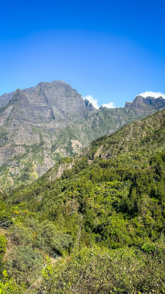
The climb begins straight away and does not stop until the top of the rampart. The path alternates between earth, mud, stone or wooden steps and a few ladders, and flat sections are rare. After about 1.5 hours, the Petit Matarum plateau offers a covered shelter and a break. Watch your water: FFRandonnée states that the water point at Petit Matarum is not connected to the drinking water network. There is no water point at all between Le Bloc and the refuge.
After the Ravine des Prunes, the slope steepens with dozens of short zigzags, often covered in loose stones. Wooden steps and ladders help you get through them. A large wayside shrine announces the ridge, where a path from Bourg-Murat joins yours. From there, you can already see the refuge, and the summit still looks very far away.
Sleeping at the Piton des Neiges refuge: a basic hut
The Caverne Dufour refuge, also called the Piton des Neiges gîte, is basic, so it is better to know before you book. A gîte is a simple mountain lodge. This one stands at 2,400 metres, with 4 dormitories for 48 beds, plus 16 beds in military tents.
There is no running drinking water. Carry enough to drink for two days, although bottles are sold on site. You also need a sleeping bag, or at least a survival blanket, because the evenings are cool at this altitude. Dinner is a set menu served in the dining room. Book it with your night, or 48 hours ahead at the latest. Breakfast is waiting for you when you come back down from the summit.
The night costs 21 euros per person for 2026. Book in advance, as this is the only accommodation on this climb.
Safety and respect for nature in the mountains
Before you leave, check the state of the trail. The ONF, France’s national forestry office, manages nearly 1,000 kilometres of trails in Réunion. It publishes an online map of the trails that are open or closed. A trail only closes or reopens by prefectural order, issued on the ONF’s proposal. The Département, the island’s local authority, also reminds hikers in its booklet to check the weather and the route before every outing.
The Piton des Neiges lies inside the national park, a fragile environment. Take all your rubbish back with you, including organic waste, as the Département and the tourist office ask. Up there, water is scarce and energy is reserved for running the refuge. There is no running water and no socket to charge your phone, and the refuge’s waste leaves by helicopter. Camping is strictly forbidden near the refuge, and animals are not allowed.
On the safety side, the Département recommends slipping a survival blanket and a first-aid kit into your bag. It also advises keeping some battery on your phone, with the map downloaded in advance, and knowing the 112 number to alert the rescue services. It advises against drinking river water.
From the Caverne Dufour to the summit: the night climb
To be at the top at dawn, you get up about two hours before the official sunrise time. That time varies a lot over the year, and the weather bulletin from the day before gives the exact hour, says Randopitons. For us, the alarm rang at 3 am. Other guides mention a start between 3 am and 4 am, with a head torch.
From the refuge to the summit, the guides count between 1 and 1.5 hours of climbing, sometimes up to 2 hours. Randopitons gives one hour, while the refuge page says 1 hour 15 minutes. The first half is done over big lava blocks, following white paint marks, which are even more useful in fog. Then the stones give way to gravel and looser soil. The route sheet warns that you can slip backwards there when the ground is dry. Near the top, you walk past two rock formations called the snow rhinoceros and the snow lion.
At the summit: sunrise, the view and the cold
At the summit, there were a few people, including some who had slept up there, and it was very cold. No surprise: you are at 3,070 metres, often in the wind, and you wait for the sun without moving.
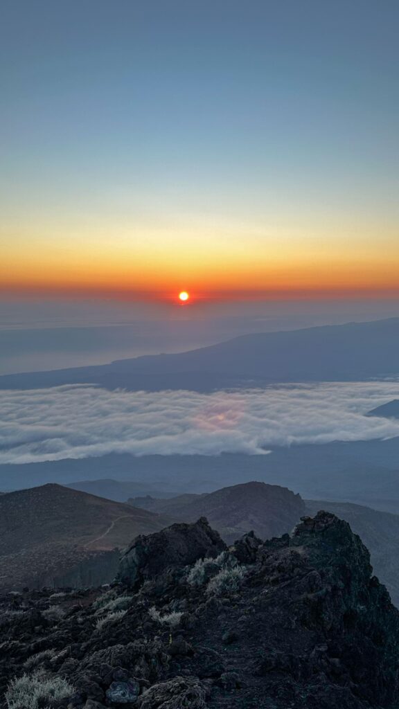
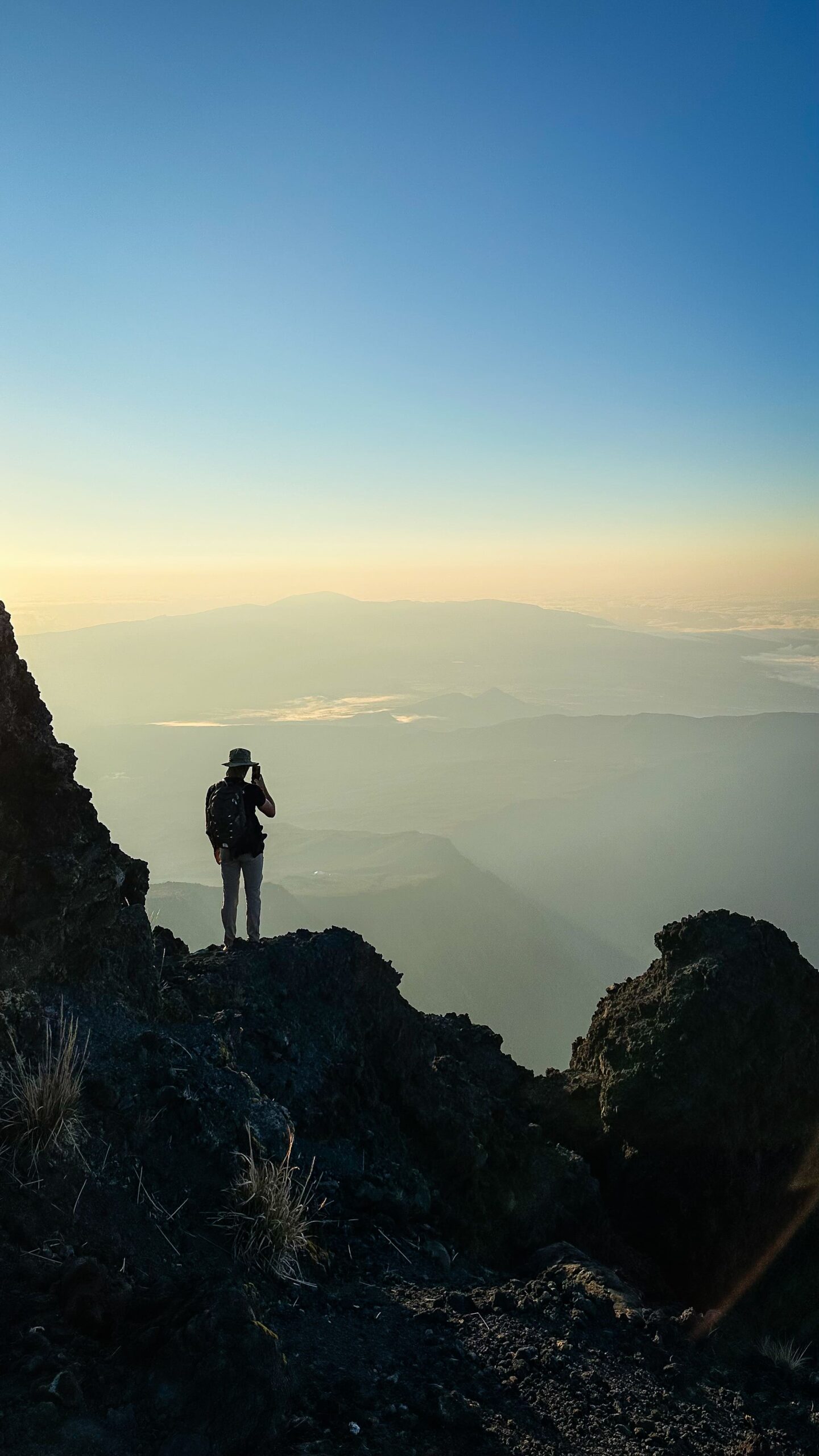
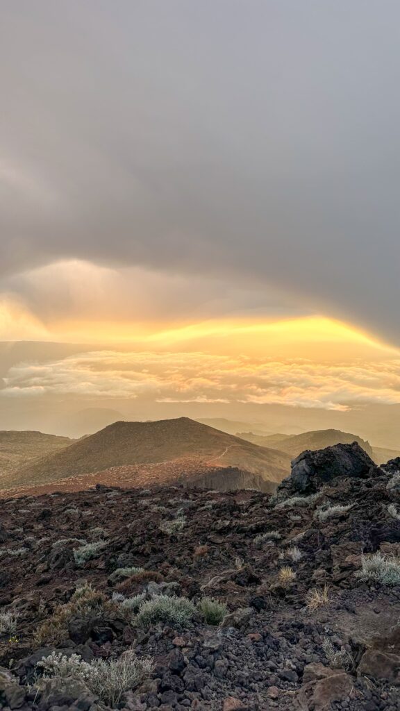
Some hikers do sleep on the summit. Low stone walls have been built there to break the wind, but bivouacking requires gear designed for extreme cold. FFRandonnée reports very cold temperatures and frequent frosts in winter. Randopitons advises dressing warmly all year round, even in summer.
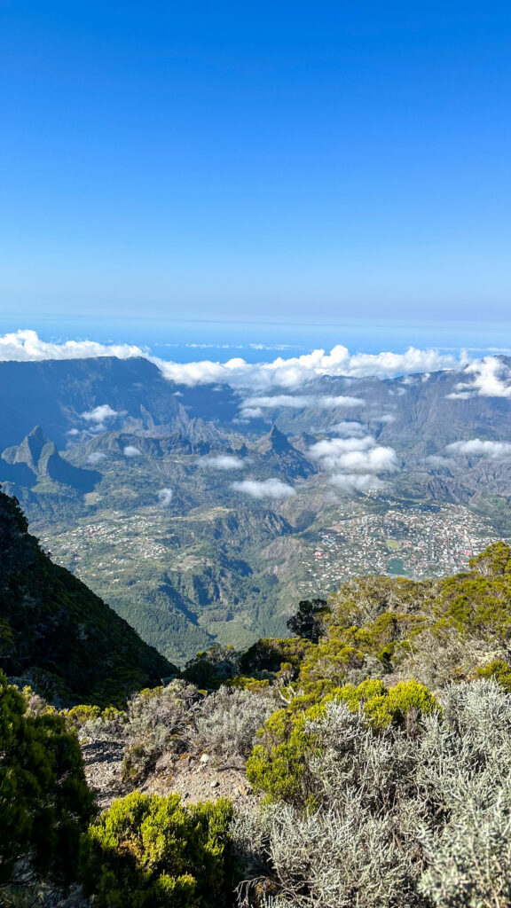
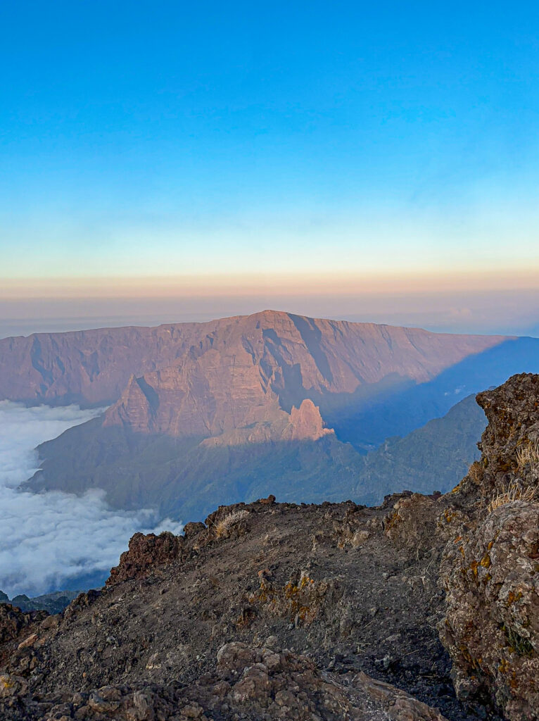
The panorama covers almost the whole island: the cirques of Mafate, Salazie and Cilaos, the volcano and part of the coast. The rock is red because of the iron oxide in the old lavas. Keep your distance from the edges, as the drops reach several hundred metres.
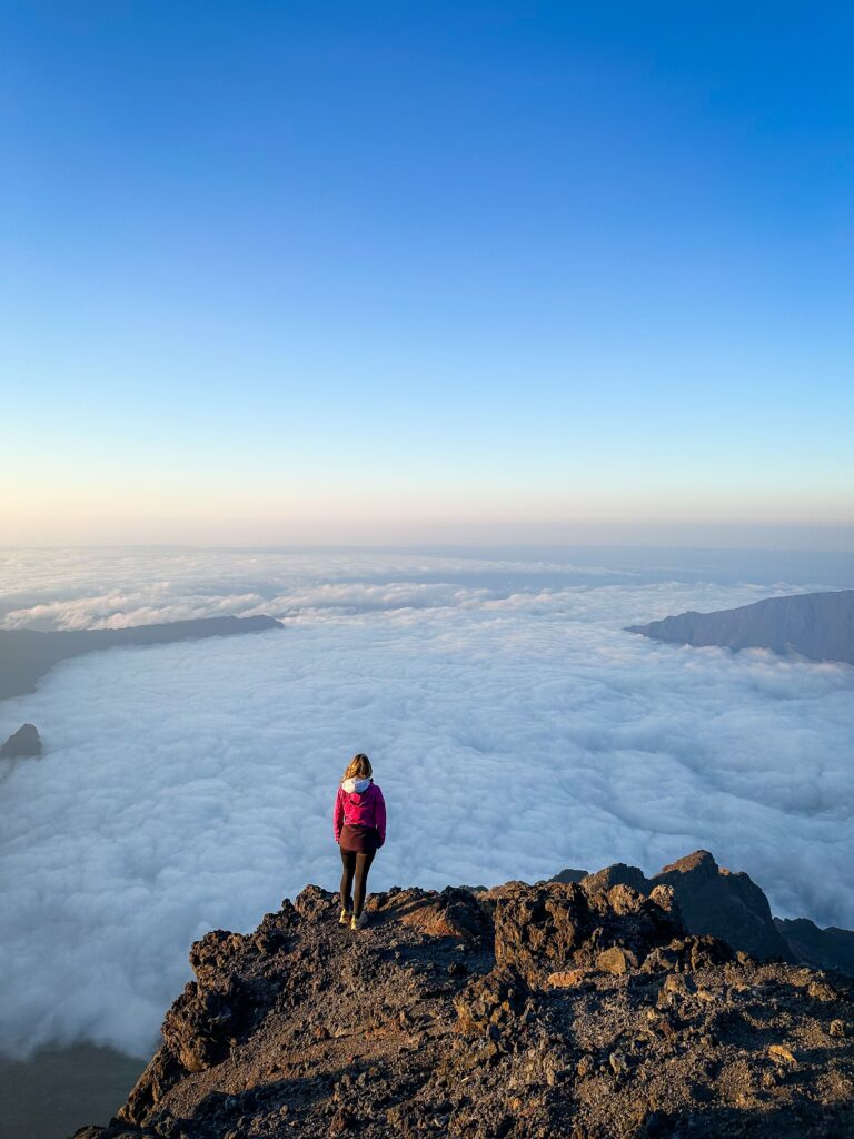
I also saw sunrise from Maïdo, facing the cirque of Mafate. It is a different kind of morning at altitude, and I told the story in my article on Maïdo.
The descent back to Cilaos
After sunrise, you go back down the same way. Two guides count about 3 hours between the refuge and the start. Randopitons warns that the descent is a new challenge for many people, especially for the knees. Poles help, and they are allowed in Réunion for hiking.
What to pack
- Warm clothes: hat, gloves and a windproof jacket, on top of good walking shoes.
- A head torch for the night climb.
- A sleeping bag, or at least a survival blanket, for the refuge.
- Water for two days, including for washing, as the refuge has no running water.
- A charged phone with the map downloaded, and a power bank, because there is no socket at the refuge.
- A first-aid kit, and poles if your knees do not like descents.
Frequently asked questions about the Piton des Neiges
Is the Piton des Neiges hike hard?
Yes, every guide rates it as hard. There are 1,730 to 1,811 metres of ascent, a climb without a break up to the refuge, then lava blocks before the summit. Decathlon Outdoor says it plainly: there is no easy version, as you need to allow for at least 1,500 metres of ascent.
How long does it take to reach the summit?
Allow about 3 hours from Le Bloc to the refuge, then 1 to 1.5 hours to the summit. The full round trip takes 8.5 to 9 hours.
Can you do the summit in one day?
Yes, according to Randopitons, provided you leave Le Bloc early enough. The fittest hikers set off around midnight to reach the summit in the dark. Others climb the day before and sleep at the refuge, as we did.
Do you need to book the Caverne Dufour refuge?
Yes, in advance, and dinner at least 48 hours before. It is the only accommodation on this climb.
Can you sleep at the summit of the Piton des Neiges?
Bivouacking is possible there but basic, with a few stone walls against the wind, and it requires gear for extreme cold. The Département allows bivouacking from sunset until 8 am. Camping remains strictly forbidden near the refuge.
How high is the Piton des Neiges?
It is 3,070 metres high, according to the tourist office and Randopitons. That makes it the highest point of Réunion and of the whole Indian Ocean.
Is the Piton des Neiges an active volcano?
No. According to FFRandonnée, it has not been active for more than 12,000 years. The active one is the Piton de la Fournaise.
All my articles about Réunion Island
Here are the other articles on my blog about the island, to prepare your trip or keep reading:
- Reunion Island hiking: my favourite hikes on the island
- Reunion Island holidays: 10-day itinerary and things to do
- Reunion Island hiking: our GR R2 trek in 11 days
- Cirque de Mafate: how to visit, hiking routes and gîtes
- Trou de Fer, Reunion Island: hike, viewpoint and panorama
- Piton de la Fournaise hike: route, timings and tips
- Maïdo, Réunion Island: sunrise, getting there and what to do