We hiked the Grand Bénare on an early morning in November 2024, Cyril and I, a few days after the GR R2. It is the third highest summit in Réunion, the French island in the Indian Ocean. You walk up from the Maïdo viewpoint and, honestly, this Grand Bénare hike is worth getting up early for.
Here is what I took away from it. You will find the numbers from my track and the route from the Maïdo. I also cover precautions for altitude, plus what I know (or don’t) about the other starting points.
Grand Bénare hike in short
- Distance: 16.4 km as a loop on my track (routes range from 15 to 17 km).
- Ascent: about 800 m of positive ascent.
- Start: the Maïdo viewpoint car park, at 2,187 m.
- Summit: around 2,900 m, marked by a large white cross.
- Time: 3 hours 50 minutes to the summit and 6 hours 33 minutes in total with breaks. Count 6 to 7 hours for the day.
- Difficulty: rated difficult, mainly because of the length of the day.
- Water: none on the route, so bring everything you need.
Where is the Grand Bénare in Réunion, and what can you see?
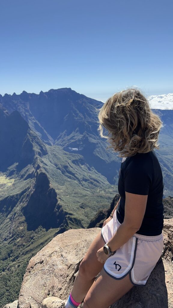
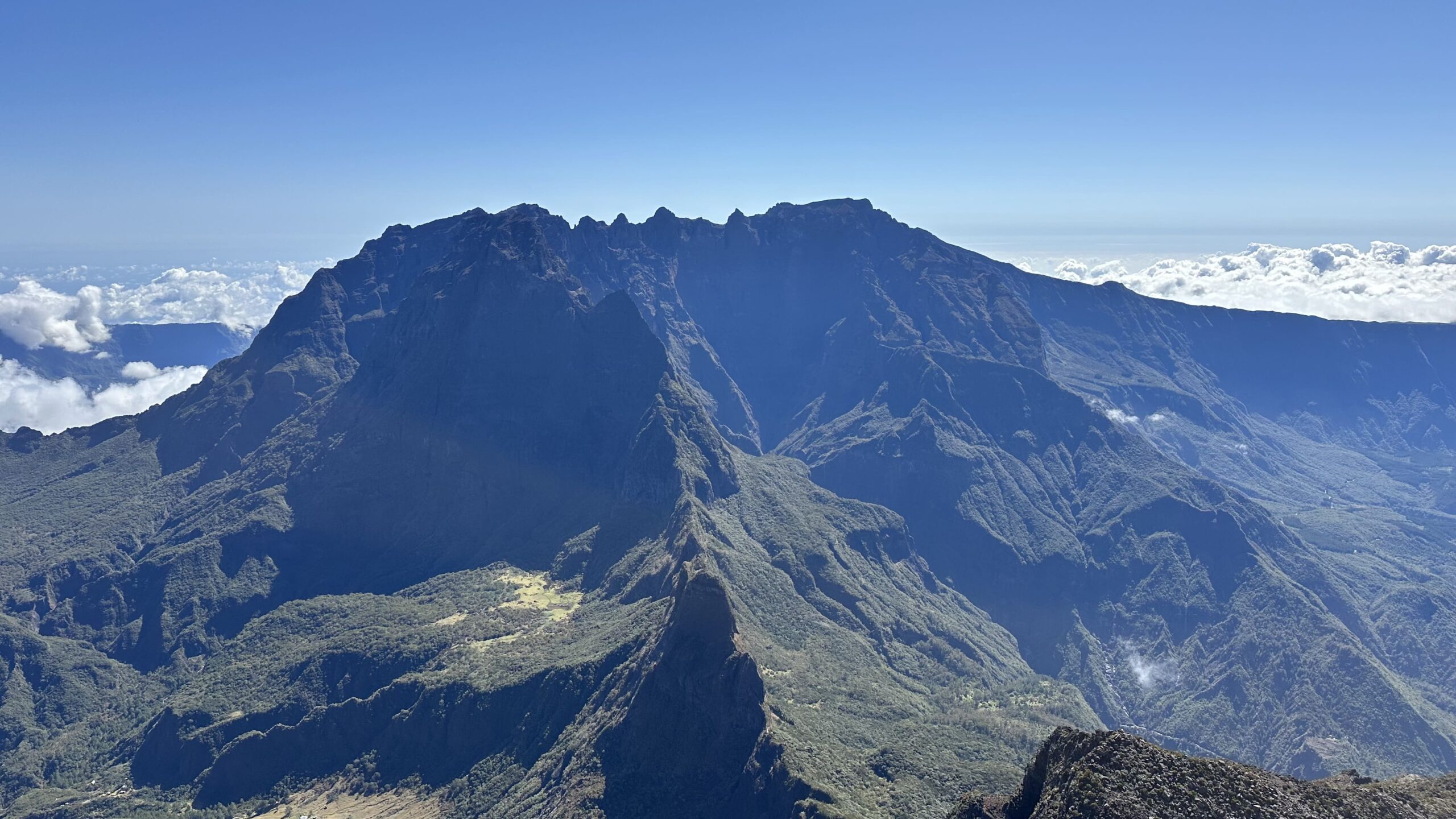
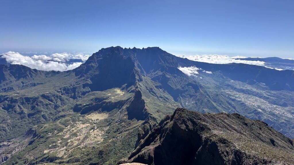
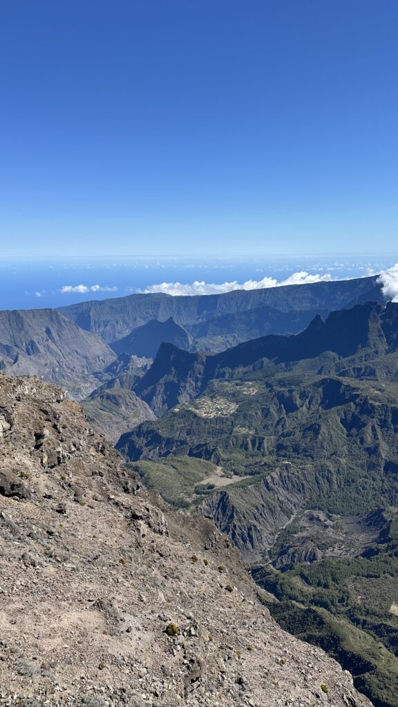
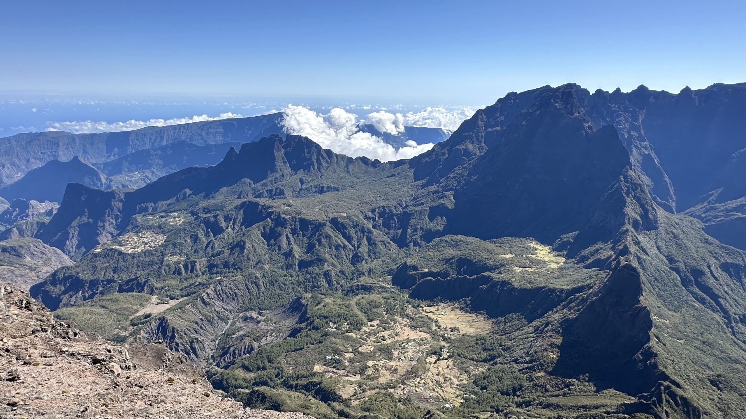
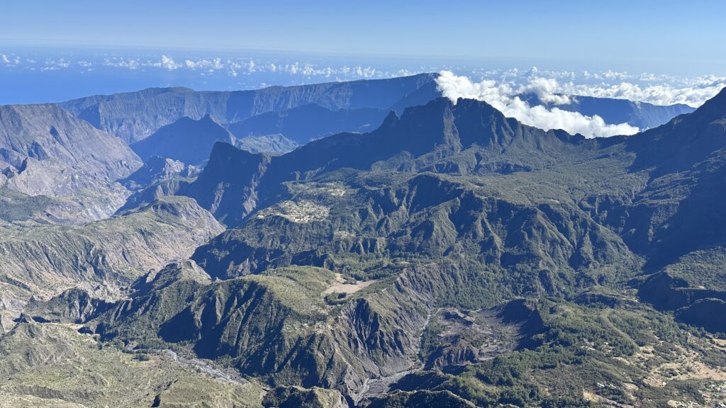
The Grand Bénare stands in the commune of Saint-Paul, in the west of the island. It sits on the rim that borders the Cirque de Mafate (a cirque is a huge natural basin ringed by steep walls). Only the Piton des Neiges and the Gros Morne rank higher on the island. Its name is said to come from the Malagasy ‘Benara’, meaning ‘where it is cold’. Keep that in mind when you fill your bag. At the top, a large white cross marks the arrival. Mafate lies on one side and Cilaos on the other, split by the ridge that runs from the Gros Morne.
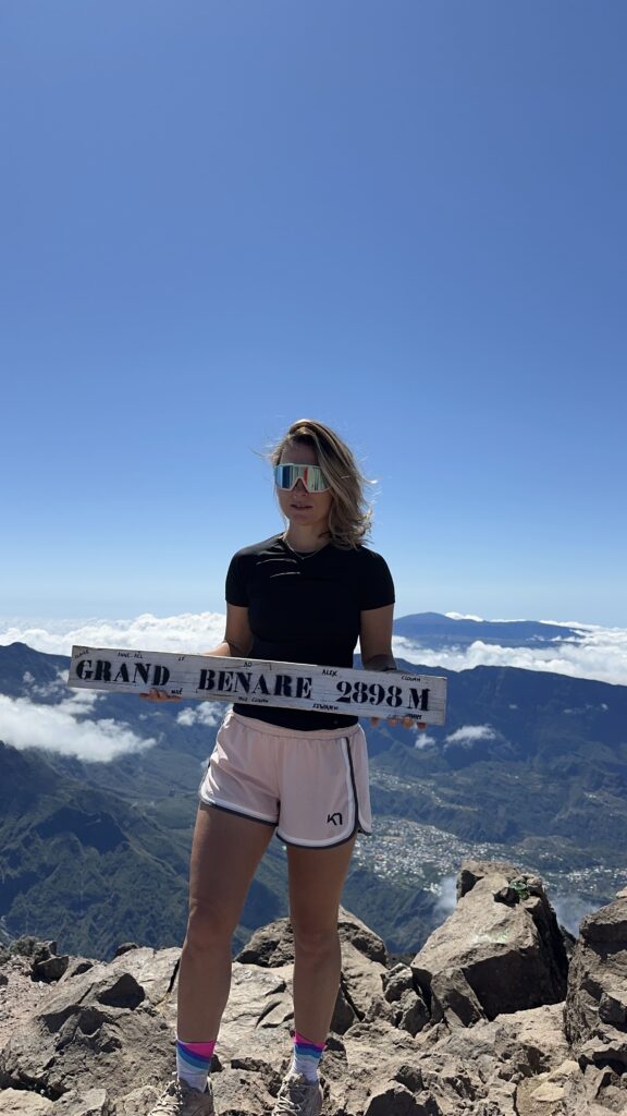
Grand Bénare altitude: around 2,900 m
The Grand Bénare altitude is around 2,900 m. Maps say 2,898 m, and my GPS showed 2,910 m. I don’t know which one is closer, so I stick with ‘around 2,900 m’. We start from the viewpoint at 2,187 m, which means you walk between 2,200 and 2,900 m all day.
Grand Bénare or Maïdo: which one to choose?
Both start from the same place, so you can decide on the spot. If you have no hiking shoes, or only an hour or two, the viewpoint is enough for the view over Mafate. I have detailed everything in my article on the Maïdo. The Grand Bénare, on the other hand, takes a full day.
Grand Bénare hike: distance, ascent and walking time
There are several ways to do this hike, between 15 and 17 km depending on the route. Here is my track: 16.4 km as a loop, with about 800 m of positive ascent. I left the viewpoint at 5.55am, reached the summit at 9.45am (kilometre 7.6) and was back at 12.28pm.
Walking time: my track from November 2024
That makes about 5 hours of walking, but 6 hours 33 minutes between leaving and coming back. We sat down at the top for breakfast, and there were a few stops along the way. From the start to the summit, it took us 3 hours 50 minutes. I would count 6 to 7 hours for the whole day.
How hard is the hike?
It is rated difficult, and it is mostly the duration that counts. 800 m of positive ascent is nothing extreme, but you string together 6 hours of walking at altitude. The stony descent also tires your knees and ankles. If you are not used to long days, leave yourself some margin on the timing.
My track is public on Google My Maps, so you can open the route before you go.
Getting to the Grand Bénare from the Maïdo
The hike starts at the Maïdo viewpoint car park, in Saint-Paul, about an hour’s drive from the town. For the road, the car park and the buses, everything is in the access section of my Maïdo article. Just remember one thing: arrive early, as it is one of the most popular spots on the island.
If you travel from the UK, remember that Réunion runs on UTC+4: four hours ahead of London in winter, three in summer.
My route step by step
I don’t remember every bend, so I give you the landmarks that matter, plus my figures for the summit.
From the viewpoint to the Grand Bord path
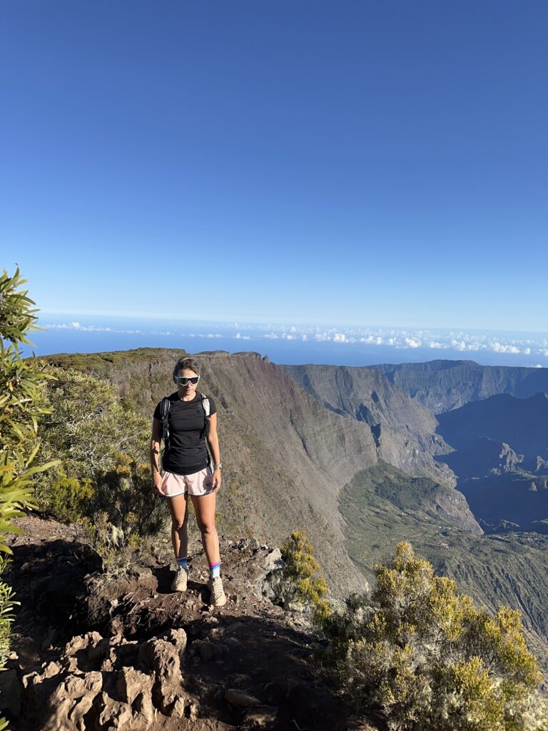
We started with sunrise at the viewpoint, then set off at 5.55am. From the car park, you go down towards the south and follow the white markers on your left. About 600 m along, a mound with a statue gives you a first view over the west coast.
At about 2.4 km, a junction leads towards the Glacière: you keep going straight. Around 3.2 km, roughly halfway, the Piton des Neiges appears. A second junction towards the Glacière comes at about 4.8 km, and again you keep climbing. All this time, the Grand Bord path runs along the edge of the Mafate rim, very well marked in white.
The final climb and the summit cross
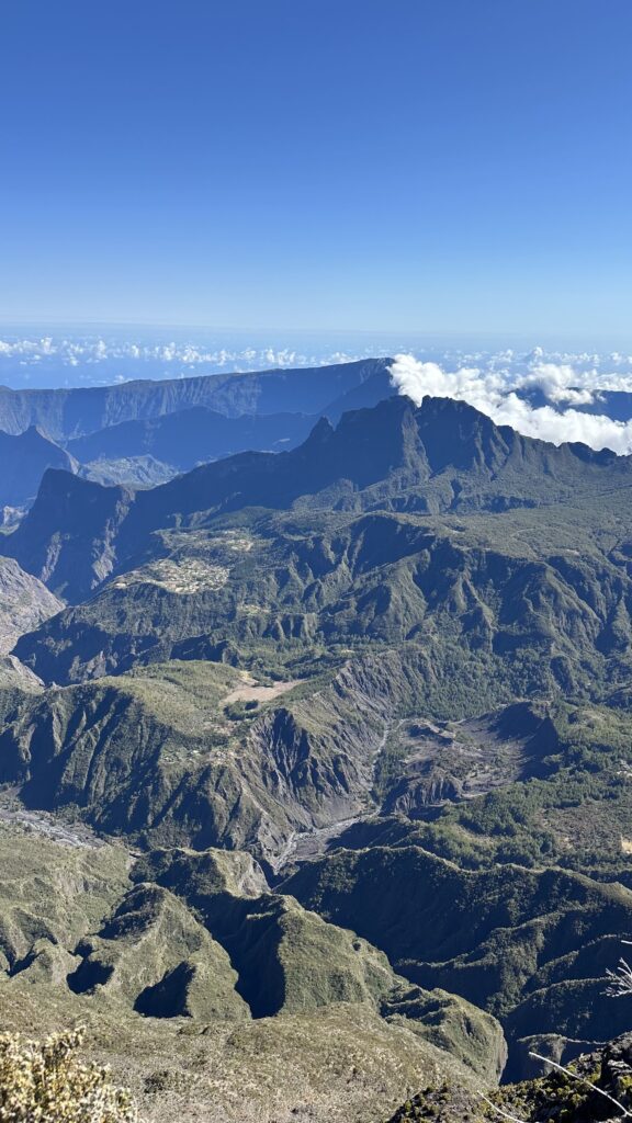
Then comes the last climb to the big white cross. We were there at 9.45am, at kilometre 7.6 on my track. The weather was perfect, with a clear sky and quite a few people. What struck me most was seeing the whole Cirque de Mafate at once. We had done the GR R2 a few days earlier, so we knew it from below. Realising we had walked through all of that really moved me. (If you want the story of the crossing, it is in my article on the GR R2.) We sat down up there for breakfast.
The loop back
My track draws a loop, but I no longer remember which way we came down. I would rather not invent it for you. You can also retrace your steps to shorten the day. Either way, the descent is stony, so keep some energy for your knees and ankles.
Route landmarks at a glance
- 5.55am: departure from the Maïdo viewpoint car park, after watching the sunrise.
- 600 m: a mound with a statue and a first view over the west coast.
- 2.4 km: junction towards the Glacière, keep going straight.
- 3.2 km: the Piton des Neiges comes into view.
- 4.8 km: second junction towards the Glacière, keep climbing.
- 7.6 km: the summit and its large white cross, reached at 9.45am.
- 12.28pm: back at the start, after a loop of 16.4 km.
Safety and respect for nature at altitude
Between the coast and the summit, the temperature changes completely. ‘Benara’ means ‘where it is cold’, and it can be freezing up there even in summer. Pack warm clothes, a waterproof jacket, a hat and sun cream: there is no shade on the trail.
Bring all the water you need for the day, as there is no water point on the massif. As on the Maïdo, take all your rubbish back down, including organic waste such as peelings and apple cores. If you have breakfast at the summit like us, everything comes back down with you. And don’t throw anything into nature, not even a cigarette butt.
Stay on the trail marked in white, which runs along the edge of the rim. Don’t get separated from your group. And leave early. Clouds rise from the Mafate walls as the morning goes on. You are better off reaching the summit before 10am (we were there at 9.45am). If the sky closes in, turning back beats pushing on.
Weather, clouds and sunrise on the Grand Bénare
The morning is the best time. Clouds rise quickly at altitude. Check the forecast the day before and on the morning itself. Have a plan B if everything is clouded in (you can fall back on the viewpoint). The day we went, it was clear, but I can’t promise you that. We watched the sunrise from the viewpoint just before setting off, and it was beautiful. As for the season, we went in early November. For the best period, I don’t know.
Is the trail open? How to check before you go
Paths on the island are managed by the ONF, the French national forestry office. It publishes a map of open and closed trails and the orders in force. After a cyclone or heavy rain, some trails are closed by prefectural order. That was the case after Cyclone Garance in 2025. Check the map the day before and on the morning you leave. I haven’t checked the state of the Grand Bord path as I write, so don’t rely on this article.
Grand Bénare from Tévelave, Les Makes or Cilaos: what I know
We only did the climb from the Maïdo, so I can’t tell you about the others. What I know is that other routes exist, and they are much longer. From the Fenêtre des Makes, people quote about 27 km and 10 hours for the version via the Petit Bénare. From the gîte des Tamarins (a mountain lodge), it is about 20 km and 8 hours 30. There is also a start at Trois-Bassins, by the Vaudeville path, which joins the Maïdo before climbing to the summit. For the Grand Bénare from Tévelave or from Cilaos, I couldn’t find a reliable guide, so I don’t know. If you want to try one of them, find a detailed route description and plan a whole day.
My verdict on the Grand Bénare hike
We loved it. It is in my top hikes in Réunion. There was the sunrise at the Maïdo and the trail along the rim. Then came the view over Mafate from the summit, and that breakfast up there. It means getting up early and holding out for a whole day, but it is worth it.
Frequently asked questions
How long does the Grand Bénare take?
Count 6 to 7 hours for the day. On my track, it took 3 hours 50 minutes from the start (5.55am) to the summit (9.45am). The whole outing lasted 6 hours 33 minutes with breaks.
Is the hike difficult?
It is rated difficult. My track shows about 800 m of positive ascent, but above all 6 to 7 hours of hiking between 2,200 and 2,900 m of altitude.
What time should you start the Grand Bénare hike?
We left at 5.55am, after watching the sunrise at the viewpoint, and reached the summit at 9.45am. Clouds rise as the morning goes on, so aim to be at the top before 10am.
Is there water on the route?
No, there is no water point on the massif. Bring everything you need for the day.
Can you take a dog on the Grand Bénare?
Rhéa, my dog, wasn’t on this trip, so I haven’t tested it. I don’t know if dogs are allowed, so check before you leave.
What is the altitude of the Grand Bénare?
Around 2,900 m: 2,898 m on maps and 2,910 m on my GPS.